
Perito Moreno Glacier facts: where the ice meets the lake
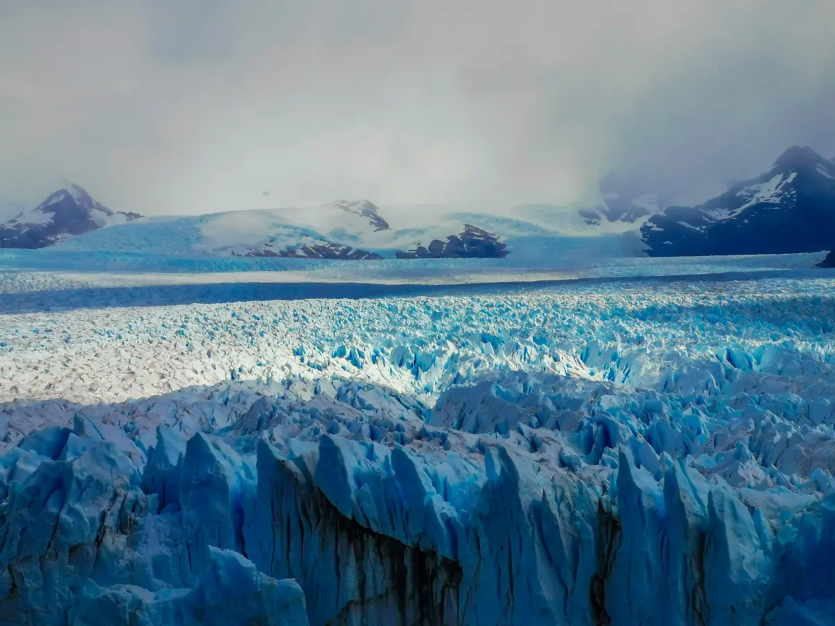
Perito Moreno Glacier facts begin with its setting in Los Glaciares National Park in Argentina. Its front meets Lago Argentino opposite the Península de Magallanes, in a landscape connected to Brazo Rico and Canal de los Témpanos. From the peninsula's walkways, visitors look across the water toward the glacier rather than walking directly onto the ice.
Ice moves, and pieces can break away from a glacier front. This ordinary calving is a different process from the collapse of an ice bridge. The latter depends on a particular arrangement of the glacier, the peninsula and water held back by an ice dam. Neither event can be scheduled as a spectacle for a visit.
The walkway guide explains how to experience the views from the visitor paths. A guided ice walk is a separate activity for those who want to travel onto the glacier with guides and equipment.
A guided ice hike
Our take: This guided hike lets you visit the glacier ice with technical equipment.
Hand-picked tours, booked through GetYourGuide. Prices are indicative starting prices in US dollars (as of October 2026). Tap a tour for live availability and the current price in your currency.
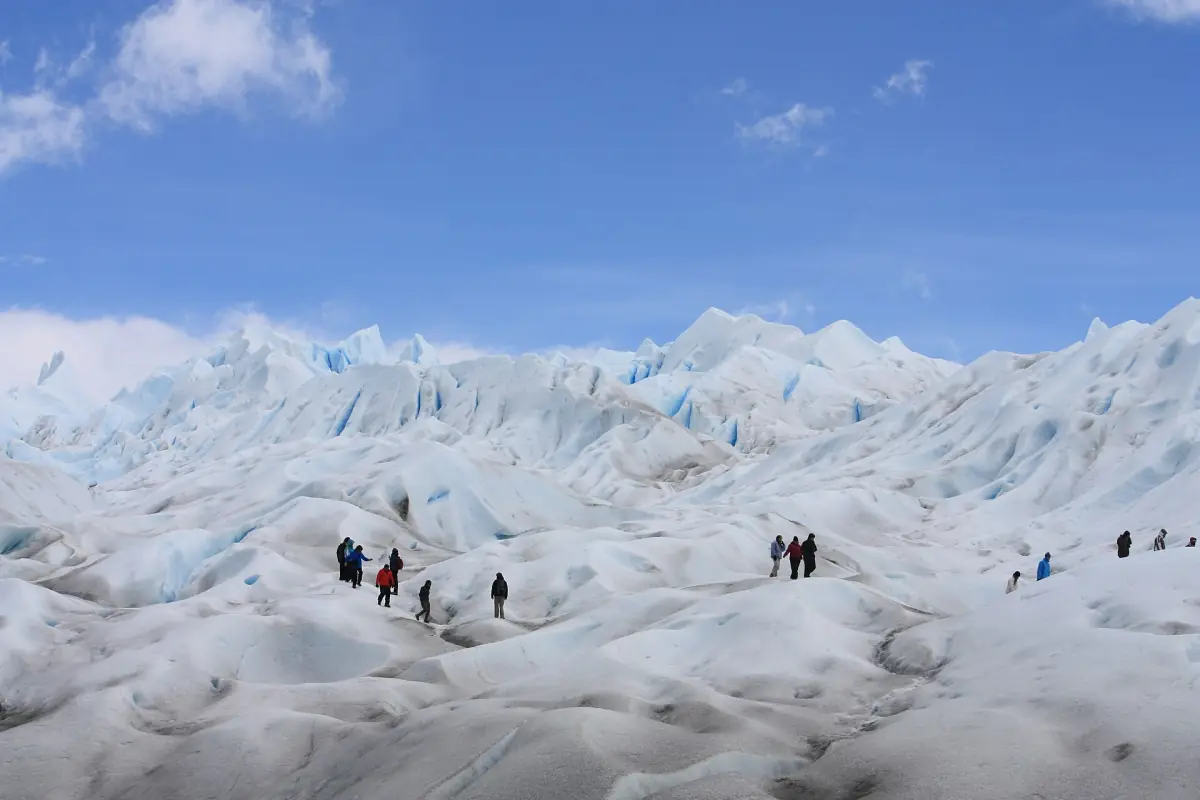
Walk on the ice with guides
A guided glacier trek offers a different perspective from the peninsula's viewpoints.
How an ice bridge can rupture
The national park's rupture graphic explains a sequence in which advancing ice reaches the peninsula and forms a dam. Water can build up in Brazo Rico. As water flows through the ice, it enlarges a passage; eventually the remaining ice bridge can collapse. This description explains a mechanism, not a timetable for the next event.
Calving along the face does not require that same dam and drainage sequence. A visitor may see the glacier's front and hear or observe ice breaking, but a sighting depends on the moment. Give yourself time at the viewpoints for the landscape itself and stay on the paths open to visitors.
History of Perito Moreno Glacier
Los Glaciares National Park was established in 1937 and became a UNESCO World Heritage site in 1981. These are dates in the protection and recognition of the area, not ages for its ice. The park includes Patagonian forest and steppe as well as its glacier landscapes.
One documented bridge rupture occurred on 10 March 2016. The national park recorded a complete collapse that day. It is a historical example, not a claim that it was the most recent rupture or that another will occur after a fixed interval. The park's explanatory graphic describes the timing as unpredictable.
The name can lead to confusion when reading about Patagonia: this glacier lies in Los Glaciares, rather than the separate national park named Perito Moreno. For the broader protected area and its visitor sectors, see the Los Glaciares guide.
What recent research tells us
A scientific study published in 2025 examined changes through 2024 and documented thinning and retreat. Its findings distinguish movement within the ice from an advance of the front. The authors model possible stages of retreat under continued thinning, without assigning a date to that scenario.
That distinction matters when older descriptions call the glacier stable. A measurement over one period is not a promise about its current condition or a forecast of the date of a future change. The study gives visitors a way to think about a changing landscape while avoiding a timetable for what the front will look like on a particular day.
Seeing the glacier responsibly
Stay on authorized paths, take litter away and do not feed wildlife. The park's guidance also prohibits drones, pets and fires. These rules protect the landscape and help visitors share the designated areas. Walking on the ice is a separate guided activity, rather than an extension of the public walkways.
For a visit from El Calafate, consider the time needed for the road and the walkways as well as any booked activity. The seasonal hours explain the distinction between entry, walkway closing and the end of a stay in the corridor.
Questions about the glacier
Is an ice fall the same as a bridge rupture?
No. Calving occurs at the front; a bridge rupture involves a dam, water flowing through the ice and the collapse of the remaining bridge.
When will the next bridge collapse happen?
The park's explanatory graphic describes the timing as unpredictable. The 2016 event is a historical example.
What does research say about glacier change?
A 2025 study documented thinning and retreat through 2024. Its model does not give a date for future stages of retreat.
Can I walk on the glacier from the public paths?
Ice walking is a separate guided activity. The public walkways provide viewpoints from the peninsula.